Analyze Visual Clues
Detect landmarks, signs, architecture, roads, vegetation, and terrain.
Upload any photo, image, or GeoGuessr screenshot and let AI analyze geographic clues such as landmarks, architecture, road signs, vegetation, terrain, and environmental patterns to estimate the most likely country, region, city, or location.
Drag & drop an image or click to upload
JPG, PNG, WEBP • Max 10MB
Unlike reverse image search, our AI analyzes geographic clues to determine where a photo was taken.
Detect landmarks, signs, architecture, roads, vegetation, and terrain.
Match visual signals against worldwide location patterns.
Generate and score possible countries, cities, and regions.
Show the strongest evidence behind the estimated location.
Browse real AI image location analysis examples to see how landmarks, architecture, road signs, vegetation, and terrain are used to determine where photos were taken.

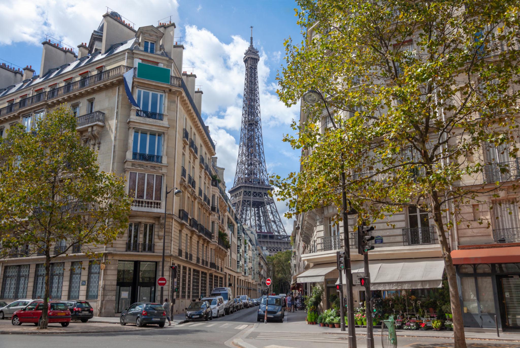
Île-de-France, France
Key Location Clues
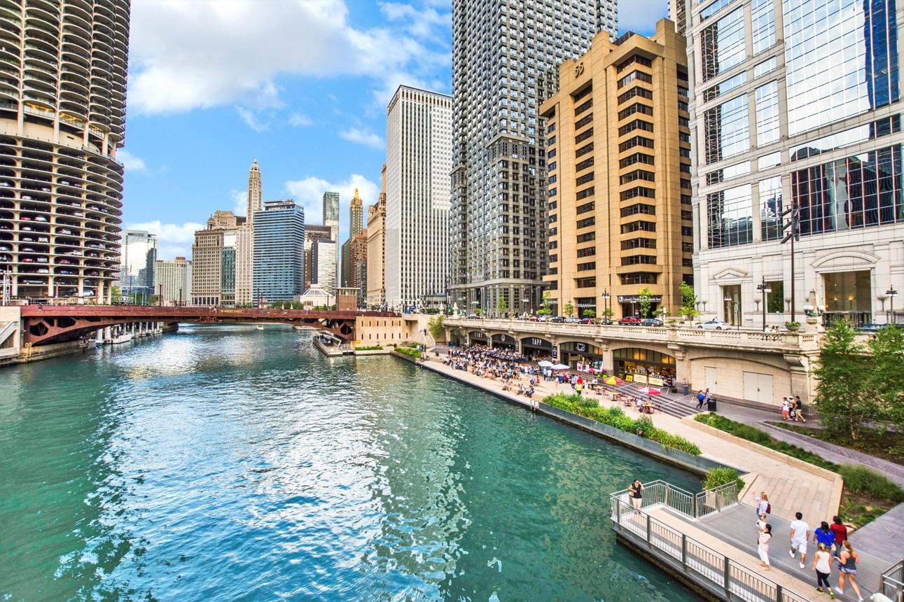
Illinois, United States
Key Location Clues
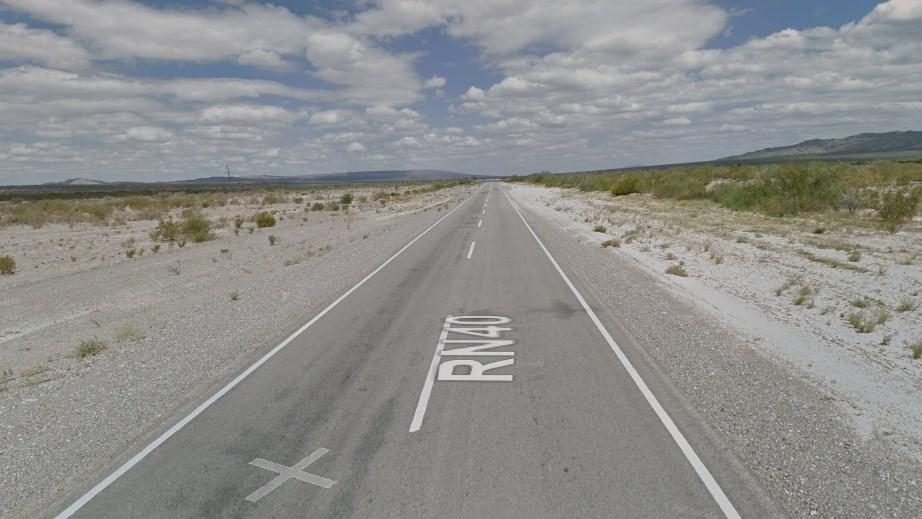
Mendoza, Argentina
Key Location Clues

Discover AI-powered guides and tools that help you identify where any photo, picture, or image was taken. Whether you're solving a GeoGuessr challenge, identifying an unknown place, or finding the location of an old photo, explore the best way to uncover where an image was captured.
Wondering where a photo was taken? Learn how AI estimates the most likely location by analyzing landmarks, architecture, road signs, vegetation, terrain, and other geographic clues. Understand how visual evidence is used to identify the country, city, or exact place shown in an image.
Need to identify an unfamiliar place from a photo or screenshot? Discover how AI recognizes cities, landmarks, streets, natural landscapes, and other locations using visible geographic clues. It's ideal for travel photos, social media images, Street View screenshots, and GeoGuessr challenges.
Looking for an AI image location finder? Upload a photo, picture, or screenshot to estimate where it was taken without GPS metadata. Analyze visual clues to identify the most likely country, region, city, or nearby location in just a few seconds.
Upload a photo to check if it contains GPS metadata, read embedded coordinates from EXIF, or use AI to estimate the location when no geotag is found.
View EXIF metadata from any photo including camera settings, timestamps, and GPS coordinates. If location data is missing, AI can still estimate where the image was taken.
Upload any GeoGuessr screenshot and let AI estimate where it was taken by analyzing road signs, architecture, vegetation, landmarks, and other geographic clues.
Identify famous landmarks, monuments, historic buildings, and natural wonders from any photo. AI recognizes landmarks and reveals their locations and details.
Compare reverse image search and AI image location finder. Learn how each method works, when to use them, and why AI can identify where photos were taken even without matching images online.
Learn the difference between EXIF data and geotags. Understand how GPS metadata works, what information photos store, and when to use EXIF, geotags, or AI image location analysis.
Find answers about AI image location finder, photo geolocation accuracy, supported images, and how to identify where a photo was taken without GPS.